Flood Watch Covers Wellington Through Thursday Evening |
Forecasters warn repeated storms could bring urban flooding and heavy rain to parts of southeast Florida |
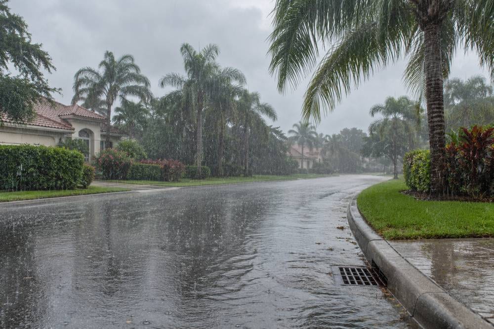
Wellington is included in a National Weather Service flood watch covering southeast Florida through Thursday evening, Nov. 19, as several rounds of rain and storms could create flooding in urban and poorly drained areas.
The watch was in effect Tuesday afternoon and remained active in the latest Tuesday evening update.
The agency said flash flooding is possible, especially where repeated downpours overwhelm drainage or collect in low-lying places.
That wording matters: a watch means conditions are favorable for flooding, not that flooding is happening everywhere.
A warning is more urgent. The National Weather Service issues a flood warning when flooding is imminent or already occurring, and a flash flood warning means people should act quickly.
For Wellington households, the practical message is to stay alert over the next two days and check official updates before driving through heavy rain.
Forecasters described several rounds of storms and estimated widespread rainfall of roughly 2 to 4 inches along the east coast through Friday, with higher totals possible in some locations.
The forecast also allows for a worst-case range of 6 to 10 inches in localized areas, though where the heaviest rain falls remains uncertain.
Rainfall does not have to be uniform for neighborhood flooding to occur.
A quick, intense burst can pond water around low spots and drainage areas even if a nearby street sees less rain.
That makes conditions difficult to judge from one block to the next, particularly during evening storms or after dark.
Residents should treat standing or moving water as a hazard, not as a shortcut.
The Weather Service advises people never to drive through flooded roadways or around a barricade, because water can hide damage to the road beneath it.
A road that looks passable may have stronger flow or greater depth than it appears from a vehicle.
The same caution applies to walking through floodwater and to children playing near storm drains, culverts or fast-moving runoff.
If water begins rising near a home, move to higher ground and follow instructions from emergency officials.
A watch is also a useful time to prepare before warnings are issued.
Residents can charge phones, keep weather alerts enabled, and know which nearby routes or parts of a property tend to collect water.
People who need regular medication, mobility equipment or assistance should make a simple plan with household members before conditions worsen.
The forecast remains subject to change, and the watch could be adjusted as new observations come in.
The Weather Service advises the public to monitor later forecasts and be ready to act if warnings are issued.
For the most current status, check the National Weather Service Miami office and local emergency notices rather than relying on an older screenshot or social post.
The key difference is preparation now versus immediate action later. A watch is a cue to keep informed and be ready; a warning calls for following protective instructions without delay.
Allow extra time if storms reduce visibility, and avoid low areas if water is accumulating.
Do not attempt to cross a flooded roadway on foot or in a vehicle, even if other cars have passed through.
If a road is barricaded, turn around and find another route instead of moving or driving around the barrier.
The forecast does not guarantee that any particular Wellington street or property will flood.
A few minutes spent reviewing alerts and thinking through a safer route can make a rainy commute less stressful.
As of Tuesday evening, the main takeaway for Wellington is straightforward: flooding is possible, the heaviest rain may be uneven, and conditions can change quickly.
Stay informed, keep away from floodwater and be prepared to follow any later warning. |
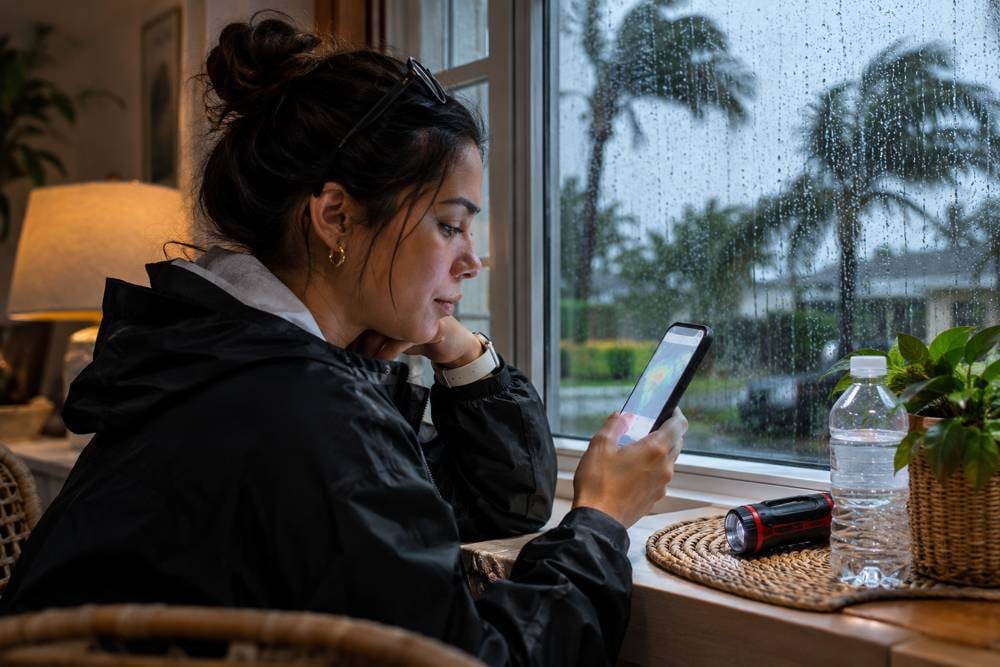 AI-generated scene of a resident checking weather updates; not an actual person, alert or storm event. |
Sources National Weather Service Miami, Flood Watch: https://forecast.weather.gov/product.php?format=CI&glossary=1&issuedby=MFL&product=FFA&site=NWS&version=1 National Weather Service Miami, Area Forecast Discussion: https://forecast.weather.gov/product.php?issuedby=MFL&product=AFD&site=NWS National Weather Service, Flood Watch vs. Warning: https://www.weather.gov/safety/flood-watch-warning Image credits: AI-generated images created for Wellington Scoop. Captions clarify that they do not show actual Wellington conditions. |
0 Comments
Join the conversation
Be the first to comment
Share your thoughts above.