

Wellington Equestrian Trails: A Guide to Bridle Paths |
Find the trail map, shared-use tips and guidance for a local ride or walk |
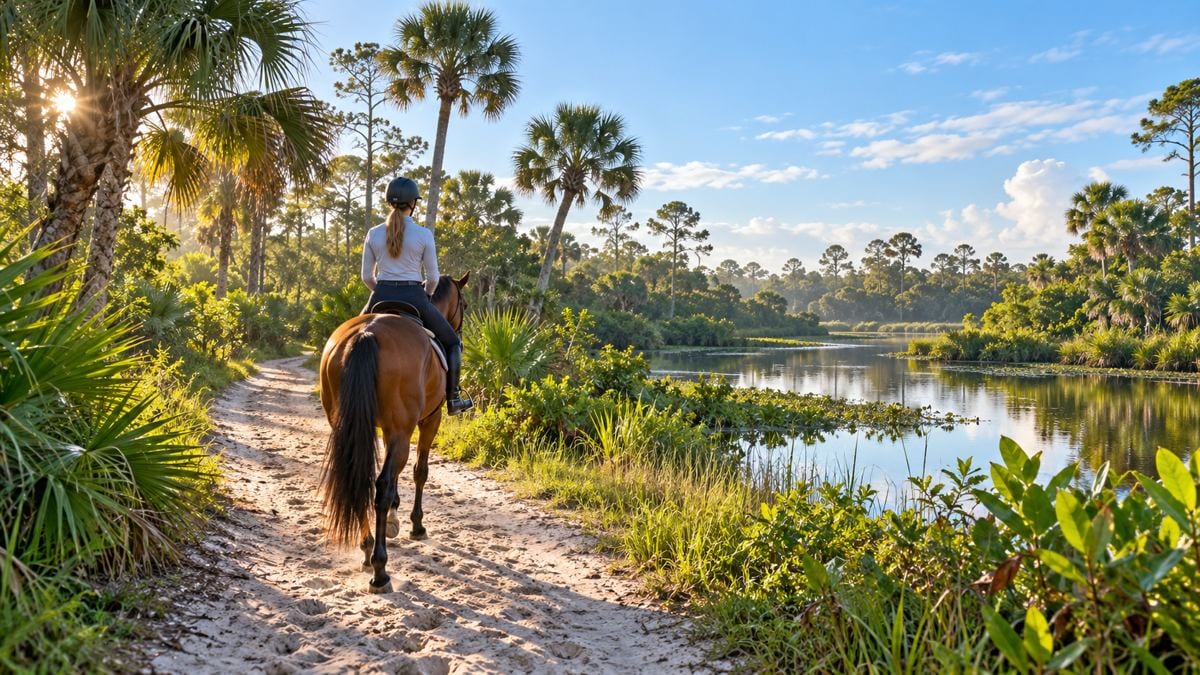
Wellington’s equestrian trails offer a distinctive way to experience the community, connecting a network of bridle paths with the village’s horse country.
The trails are designed for multiple uses, including riding, hiking, biking and running, according to Wellington.
That shared purpose makes a little preparation and consideration especially valuable, whether you are arriving on horseback or on foot.
Start with the official map
The Village’s equestrian trails page lists 15 maintained paths, including the Black, Blue, Brown, Greenbriar, Red, White and Yellow trails.
The page also links to a trail map, a useful first stop for identifying a route and understanding how it relates to local roads and other paths.
Before setting out, confirm whether the segment you plan to use is public and appropriate for your activity.
Some bridle paths involve public or private easements, so a line on a map should not be treated as permission to enter adjacent private property.
Check current conditions and any posted signs before relying on a route, particularly after heavy rain or when maintenance may affect footing.
Village publications describe different total mileage figures for the wider network, so this guide does not treat one total as a definitive current measurement.
Explore the preserve’s perimeter trail
The Wellington Environmental Preserve includes a 3.6-mile perimeter equestrian trail that connects with the broader bridle trail system.
The preserve is also a rainwater storage area with separate pedestrian paths, boardwalks and learning areas.
Check the facility’s current access information and follow signs for the specific route rather than assuming every path is open to every use.
Riders should confirm trail access, parking and conditions with the Village before transporting a horse to an unfamiliar location.
Visitors on foot can plan their own route by reviewing the preserve’s facility information and allowing time for weather and trail conditions.
|
 |
Share the space thoughtfully
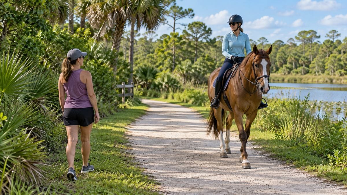
Horses can be startled by sudden movements or unexpected approaches, so give riders room and communicate before passing.
Slow down, avoid approaching closely from behind and ask the rider how best to pass when you are unsure.
Keep dogs under control and away from horses, and follow all posted rules for the particular location.
These are practical courtesy suggestions; posted signs and instructions from staff govern the specific site.
Drivers and riders should pay particular attention where trails meet roads, driveways or other paths.
Know the device restrictions
Wellington’s published guidance says golf carts are not permitted on equestrian trails.
The Village’s micromobility guidance also identifies public bridle trails among the places where e-bikes and e-scooters are prohibited.
Rules can differ on other pathways, so consult the current Village guidance and signs before choosing a route or device.
Ask before you go
For trail maintenance or conditions, Wellington lists its Equestrian Trails contact at 561-791-4065.
Ask about the particular trail name, current footing, closures and the most suitable access point for your activity.
Bring water and sun protection, check the forecast and let someone know your plans when heading out for a longer outing.
With the right route and a little space for other users, Wellington’s bridle paths offer another way to appreciate the area’s equestrian character.
The accompanying AI-generated images are illustrative and do not depict actual Wellington trails. |
35 Comments
Join the conversation
I like that the guide does not guess at a total mileage when Village publications differ. For an actual outing, the current map and trail conditions matter more.
Jeff D.Exactly. After a heavy rain, knowing which route is in decent shape is more useful than the total mileage.
I usually visit the preserve for the boardwalks, so the equestrian route is new to me. I will pay more attention to the route signs on my next visit.
It is helpful to separate public trail access from nearby private easements. That detail could save a visitor from taking a wrong turn onto someone's property.
The Greenbriar trail caught my eye because I have seen the name around Wellington. I am going to check the map before assuming I know where the path goes.
Denise W.Good call. I recognize the Greenbriar name too, but I couldn't tell you where the trail starts without the map.
I would like the Village to keep the posted signs current when maintenance changes a route. Checking ahead helps, but signs on the ground are important too.
The shared use of these paths takes a little patience from everyone. I hope people walking and biking remember that a horse may react differently than another person on the trail.
I did not know the preserve's perimeter trail connects to the broader bridle system. That makes the map worth a look even for people familiar with the preserve.
Ben OrtizSame here. I've been to the preserve a few times and had no idea the perimeter trail connected to other paths.
We went walking after a heavy rain once and turned back because the footing was poor. I am glad the advice here includes checking conditions, not just choosing a route.
Checking with the Village before transporting a horse seems especially sensible. It would be helpful if current parking and trail conditions were easy to find together.
I like having both boardwalks and trails at the preserve. Following the signs makes sense when a place serves walkers, riders and rainwater storage all at once.
It is nice that runners can use parts of Wellington's trail system too. I would be interested to know which of the maintained paths are best for someone on foot.
The Black, Blue and Yellow trail names are easy to remember, but I would still want the official map with me. The road connections are what usually trip me up.
Agreed: memorable names are no substitute for the official map, especially when planning around road connections. Thanks for pointing that out.
I have seen people turn down paths near the preserve without looking at the signs. The reminder that separate routes have separate uses is helpful.
Thank you. The preserve has separate routes for different uses, so following the signs helps everyone stay on the appropriate path.
The 3.6-mile perimeter trail sounds like a manageable outing, but I would check the preserve's access information first. Conditions can change quickly in this weather.
That’s a good plan. The perimeter trail is listed at 3.6 miles, but it’s worth checking current access and conditions before you go.
As a cyclist, I would like clearer signs where bike routes meet bridle paths. Knowing in advance which segments allow bikes would help avoid confusion.
Mike H.Agreed. A sign at each entrance showing which uses are allowed would make it easier for everyone to share the paths.
The warning about private property is worth repeating. A line on a trail map does not mean the land beside it is open for exploring.
I wish there were one clearly stated mileage figure for the whole network. Still, knowing that the Village has a map is more useful for planning a route.
We understand, the differing mileage figures make a single total hard to rely on. For planning, the Village’s map is the more useful starting point.
The preserve is one of my favorite places to walk. I had not thought about how its rainwater storage role might affect trail conditions after wet weather.
Checking parking before bringing a horse to an unfamiliar trail is good advice. Finding out there is no suitable place to unload would make for a frustrating trip.
Fifteen maintained paths is more than I expected in Wellington. I would like to see which ones connect without having to cross a busy road.
The Village’s trail map is the best place to compare connections and spot where a route meets a road. We’d check the specific crossing before heading out.
I appreciate the distinction between the preserve's pedestrian paths and its equestrian trail. It is easy to assume every path there is open to everyone.
The note about checking conditions after heavy rain is important here. A trail that was fine last week can be a very different walk after a storm.
It helps to know the trails are shared by riders, runners and cyclists. Giving horses plenty of room seems like a simple way for everyone to enjoy them.
I have walked at the Wellington Environmental Preserve but never noticed the 3.6-mile equestrian trail. I will look at the signs more closely next time.
Dave ThompsonI missed it on my walks there too. I'll pay closer attention to which signs point to the horse trail next time.
The reminder to check the Village map before heading out is useful. I did not realize some of the bridle paths involve private easements, so the route details matter.