Wellington Flood Maps: A Property Information Guide |
Find official map resources and request a Village flood-zone determination |
A Wellington flood map is a starting point for understanding a property, not a complete description of every possible drainage problem. Residents looking up a home should use the exact address and current official resources. A neighbor’s result, an older listing photograph or a general neighborhood label cannot establish the designation of a particular parcel.
Begin with the Village’s map resources
Wellington’s Current Flood Maps page points residents toward property-level flood information and explains common map terms. Its Flood Zone Determination page also directs people to FEMA’s Map Service Center. These are more useful starting points than a cropped map shared without its date, legend or precise location.
Before searching, write down the complete address and any details needed to distinguish a unit or parcel. Check that the result is in Wellington, Florida, rather than another place with the same name. Save the map reference and the date of the lookup, so someone reviewing the information later knows what was actually checked.
Ask for a determination when needed
The Village says it provides a Flood Zone Determination letter at no cost for property within its corporate limits. Its instructions ask for the property address and the requester’s contact information. The listed Building Department numbers are 561-753-2430 and 561-363-7907, with requests also directed to Planning and Zoning.
The same page describes asking about historical flood information, stormwater drainage concerns and whether an elevation certificate is on file. An available certificate and a map answer different questions, so explain what you are trying to establish. Do not assume that requesting one document automatically supplies every other record relevant to a transaction or project.
Read designations in context
The Village defines a Special Flood Hazard Area as an area associated with the base flood, commonly described as a flood with a one-percent chance in a given year. That terminology does not mean a flood can occur only once during a hundred-year period. Ask the floodplain office to clarify unfamiliar symbols before drawing a conclusion.
|
 |
Likewise, a location outside a designated high-risk area is not a promise that water cannot affect the building. Wellington’s determination guidance explicitly notes that flood damage can occur outside mapped flood-prone areas. Read the surrounding context, ask about drainage information and distinguish the mapped designation from an assumption about a specific future storm.
Keep mapping and coverage questions separate
A map lookup does not set an insurance premium, confirm a lender’s requirements or interpret a policy. Take the official property information to the relevant professional when those questions arise. This guide does not recommend a policy, promise a discount or determine a household’s individual coverage needs.
If you are comparing information from an older document with a current map, retain both rather than silently replacing one. Note any conflicting address, designation or effective-date information and ask the Village or FEMA’s map specialists what explains the difference. A clear question is more useful than assuming that one screenshot proves an error.
Prepare a useful inquiry
Explain whether you need a basic zone determination, an available elevation certificate, historical information or help interpreting a map. Include only the contact and property details needed for the request. Avoid posting private documents publicly when a direct inquiry to the responsible office can resolve the question.
The Village’s Current Flood Maps, Flood Information and Flood Zone Determination pages provide distinct starting points. FEMA’s Map Service Center offers another official route, while FloodSmart lists contact options for mapping questions. Use the current details on those pages if a saved phone number or link has changed.
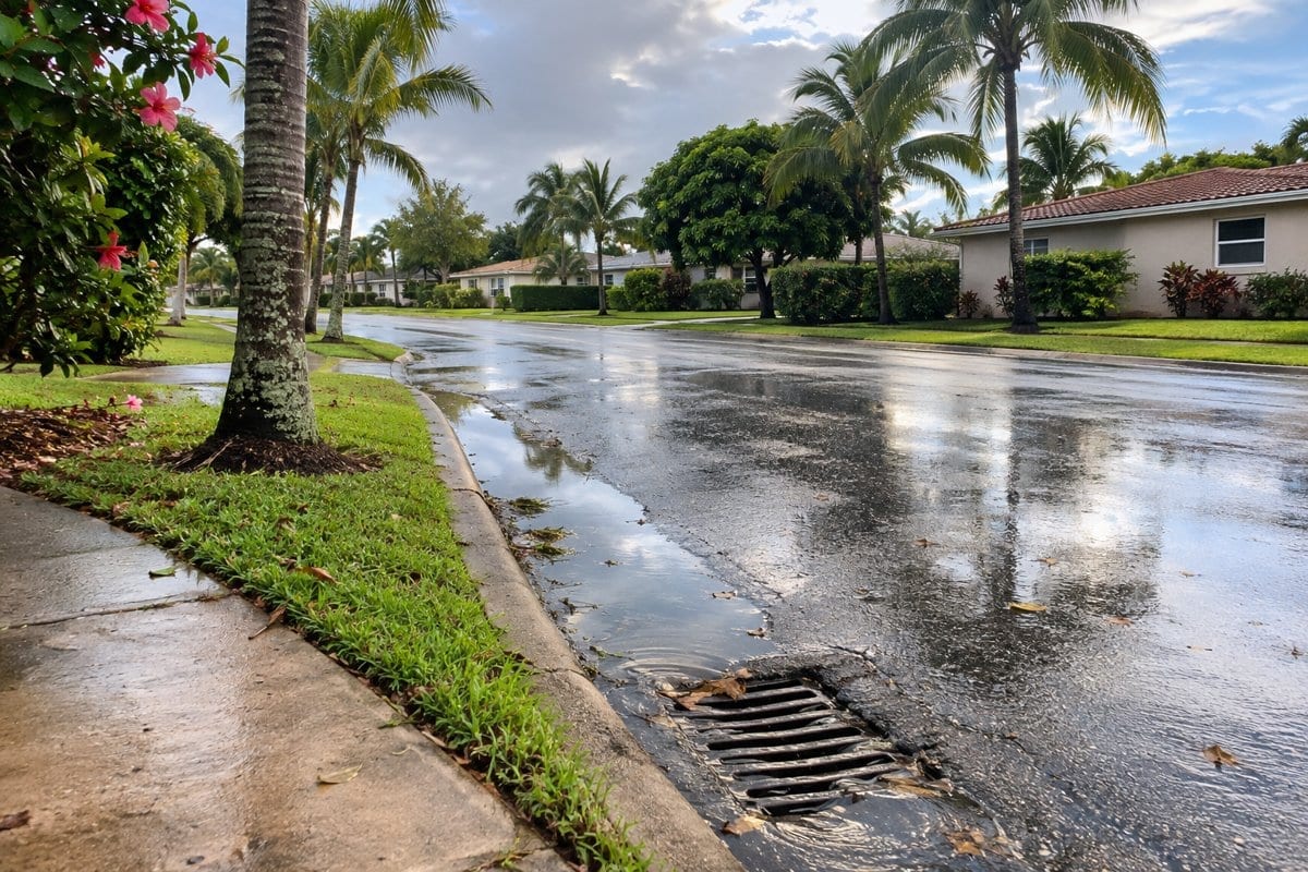
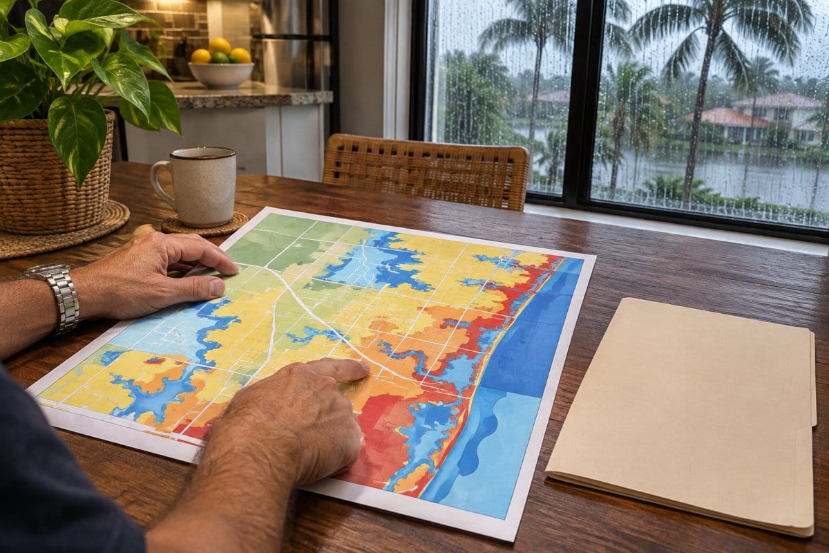
Information was checked November 3, 2026. The two AI illustrations show generic drainage and map-reading concepts, not actual flood conditions, parcel boundaries or a verified Wellington risk assessment. Keep the official response and map reference with the property records so the next decision begins with identifiable information. Official resources Village flood maps • Request a flood-zone determination • Wellington flood information • Federal mapping assistance |
12 Comments
Join the conversation
I had thought a hundred-year flood meant it could only happen once in a century. The explanation of the one-percent chance clears that up. It is a good reason to ask before relying on a familiar term.
Exactly. A one-percent chance applies in any given year. It doesn’t mean another flood must wait a century.
Elaine WalkerI used to think the same thing. The name really makes it sound like a once-a-century event.
Our street has had standing water after heavy rain, so I appreciate the note about asking the Village about stormwater drainage. A parcel designation might be accurate and still miss what residents see after a storm.
The distinction between an elevation certificate and a flood map is useful. Does anyone know how long it usually takes to find out whether a certificate is on file? That would help when planning a purchase.
That’s an important planning question. We haven’t confirmed a turnaround time, so we’d suggest asking the Village whether a certificate is on file and how long it may take to get an answer.
Priya S.I don't know the usual turnaround, but I'd ask the Village as soon as you have the address. That way you can plan around whatever wait they give you.
I am glad Wellington offers the Flood Zone Determination letter at no cost. I would still ask about past drainage problems before buying a home. A map alone would not answer that question for me.
David CollinsAgreed. I would ask about drainage after heavy rain too, especially if the yard sits lower than the ones next door.
We agree, a map is a starting point, not a record of every drainage concern. When requesting a determination, you can also ask the Village about historical flood information and stormwater drainage concerns.
The reminder to search the exact address is helpful. I have seen neighbors assume their homes have the same flood designation, even when the lots are different. Saving the map date seems worth doing too.
Thanks for highlighting both steps. Checking the exact parcel and saving the map reference and lookup date makes the result much more useful later.